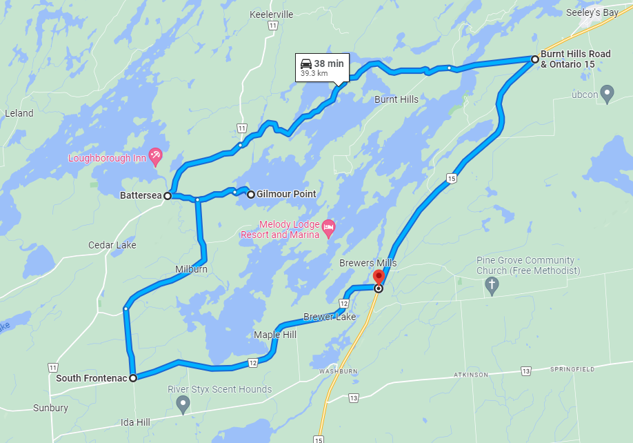
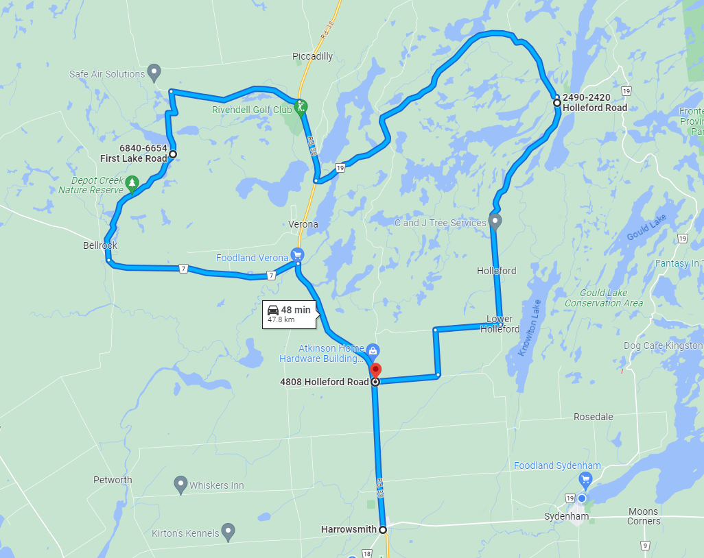
Fall in South Frontenac is Simply Fabulous. Rolling farm fields and sparkling lakes set a spectacular backdrop for the kaleidoscope of fall colours. Here are five great drives with stops for hikes to see autumn in all its glory in South Frontenac.

1. Rideau Canal and Battersea

Man fishing at Rideau Canal

Length: 39.3 km

Route Map: Google map

Tour Route

Drive north from Kingston on Highway 15. Stop at a local farm stand along the way for apples and snacks.

Just south of Seeley’s Bay, turn left at Burnt Hills Road. Drive slowly, as the road is very windy. After a few kilometres, you’ll pass over the Brass Point Swing Bridge on the Rideau Canal. Be sure to admire the view as you drive over.

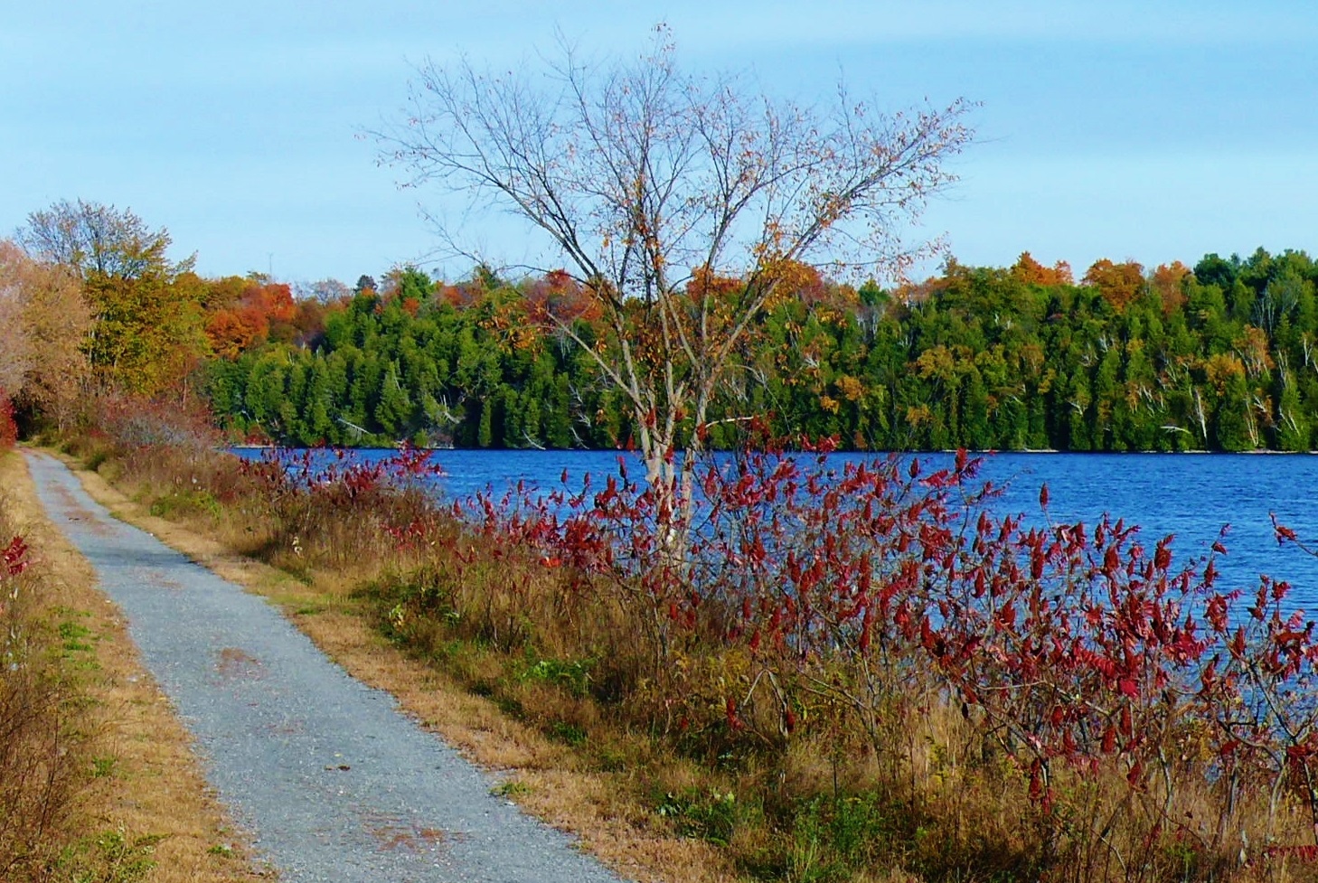
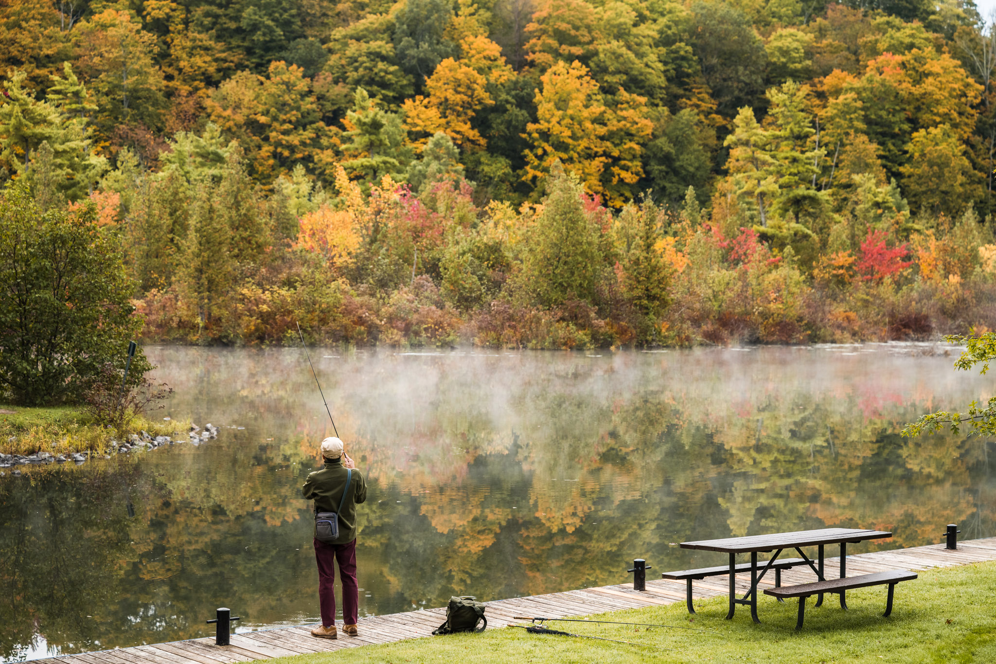
Coming into the village of Battersea, stop for lunch or get out and stretch your feet at Millburn Creek Trail, a 3.1 km trail around Millburn Creek. There are two trailheads, one beside the ball diamond, or one behind the church on Wellington Street. If you’re lucky, you may see members from The Frontenac Society of Model Engineers running their miniature steam railroad near the ball diamond.

Take a detour to Gilmour Point Park, 1763 Wellington Street and enjoy the quiet beach views or have a picnic before continuing south on Millburn Road.

Turn left on Sunbury Road (County Rd 12) back towards Highway 15. Turn left at Canal Road and visit Upper Brewers Lock on the Rideau Canal, a UNESCO world heritage site.

google map of tour

2. Perth Road and Elbow Lake Environmental Education Centre

fall colours at elbow lake education centre

Length: 38.3 km

Route Map: Google map

Tour Route

Drive north from Kingston on Division Street which turns into Perth Road or County Rd 10. Stop for snacks and supplies on the way at The Cookery in Inverary or Mrs. Garretts Bake Shop.

Turn right on North Shore Road and make an immediate right onto Hewlett Packard Lane. Continue on for 8 km. Look for the entrance to the Elbow Lake Environmental Education Centre on your left. This property owned by Queen’s University is 426 hectares in size and has six kms of shoreline. Visitors can explore their 8 km of trails.

After your visit, backtrack down Hewlett Packard Road, turning right when you reach Leland Road which will take you back to Perth Road at Perth Road Village.

At Perth Road, turn left (south) then right onto Wilmer Road and Norway Road. If you haven’t had your fill of hiking, a scenic section of the Cataraqui Trail crosses here. Continue on Norway Road until you reach McFadden Road which turns into Wilmer Road and will take you back down on the east shore of Sydenham Lake to Rutledge Road. At Spaffordton, turn left to return to Perth Road.

Sidetrips: If you really want to make a day of it, continue north on Division Street past Buck Lake and turn left on Bedford Mills Rd to see the historic Bedford Mill, OR turn right onto Opinicon Road towards Chaffey’s Locks. Both are beautiful drives.

google map of perth road tour

3. Sydenham to Verona

Cataraqui Trail

Length: 55.3 km

Route Map: Google map

Tour Route

Drive north on Sydenham Rd, and turn right and enter the village of Sydenham where you will start your tour. Stock up on supplies before you leave the village. If you want to stretch your legs early, go for a stroll on the Cataraqui Trail or at Sydenham Point Park before getting back in the car.

Head north on Bedford Road. After about 11 km, you will come to Salmon Lake Road which will take you to the main entrance of Frontenac Provincial Park and its 160 kms of wilderness and trails—a fall paradise.

Continue on Bedford Road which will eventually turn into Desert Lake Road. Admire the scenery and beautiful lakes as you approach Verona. Turn left on Highway 38 towards the village.

Another great spot to hike is the K&P Trail in Verona. Park at the trailhead parking lot at the corner of Highway 38 and Bellrock Road. Once you're done your hike continue south on Highway 38, turning left on Jamieson Road.

Heading home, turn right at Loughborough Portland Boundary Road back towards Sydenham. If you’re still up for a hike, turn left on Freeman Road (**CAUTION: this is a narrow unassumed road) and take the short cut to Gould Lake Conservation Area where you can hike to see mica mines.

google map of Sydenham to Verona fall drive

4. Bellrock, Desert Lake Road and the Holleford Crater

cow at Holleford Crater

Length: 55.3 km

Route Map: Google map

Tour Route

Starting in Harrowsmith, drive north on Highway 38 and just before you reach Verona, turn left onto Bellrock Road.

Turn right onto First Lake Road and drive through the historic hamlet of Bellrock to the Depot Creek Nature Reserve at 6329 First Lake Road. This 71-acre property owned by the Land Conservancy of Kingston, Frontenac, Lennox & Addington offers visitors a variety of habitats including wetlands, woodlands and open fields on marked trails. Follow the self-guided tour using your mobile phone.

After your stop, continue north on First Lake Road to Snider Road where you will turn right back to Highway 38. Stop for lunch at Rivendell Golf Club.

Continue south on Highway 38, turning left at Desert Lake Road for about 10 km. Turn right at Holleford Road for 7 km and turn right at the white schoolhouse which is the start of the famous Holleford Crater, where a meteor hit millions of years ago and a popular stop for local photographers.

Turn left at one of the next two roads to take you back to Hartington and Highway 38.

Google map Bellrock Desert Lake scenic drive

5. The Northern Route

Lake in fall near Bedford

Length: 54.3 km

Route Map: Google map

Tour Route

Stock up on supplies in Verona, then head north and right onto Desert Lake Road past Desert Lake campground.

Turn left on Canoe Lake Road which will take you up along the western border of Frontenac Park.

Turn right on Devil Lake Road which will take you to Kingsford Dam, a park access point.

After hiking, return back to Canoe Lake Road and turn right to head north. About a kilometre north is the entrance to Wintergreen Studios, 90 Wintergreen Lane which runs retreats, workshops and events. Check their website to see if the property is open to visitors that day.

Continue north on Canoe Lake Road until you reach Westport Road. Turn left towards Bedford and Verona. If you’re out for a Sunday drive, be sure to drop into the Bedford Hall for their weekly jam session on Sunday afternoons.

Turn left on Bunker Hill Road, which will take you back to Desert Lake Road and Highway 38 in Verona.

google map of northern tour route

phone icon Contact Us